Bonita Falls

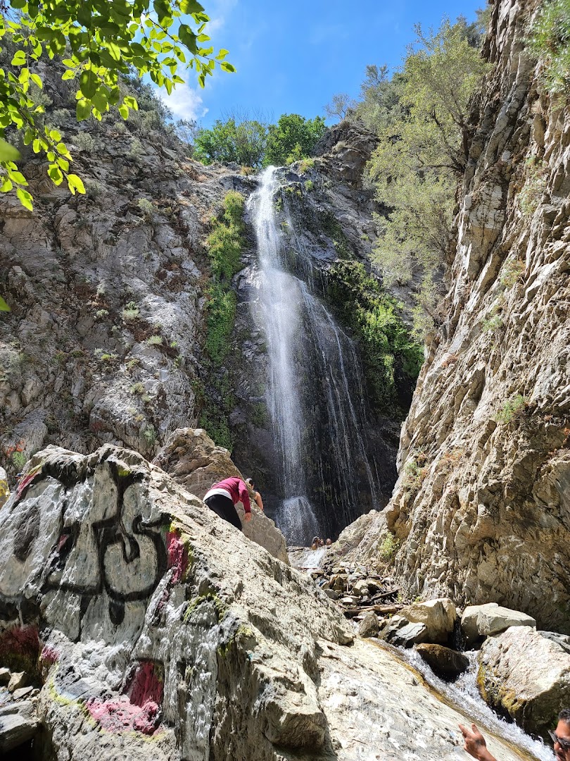
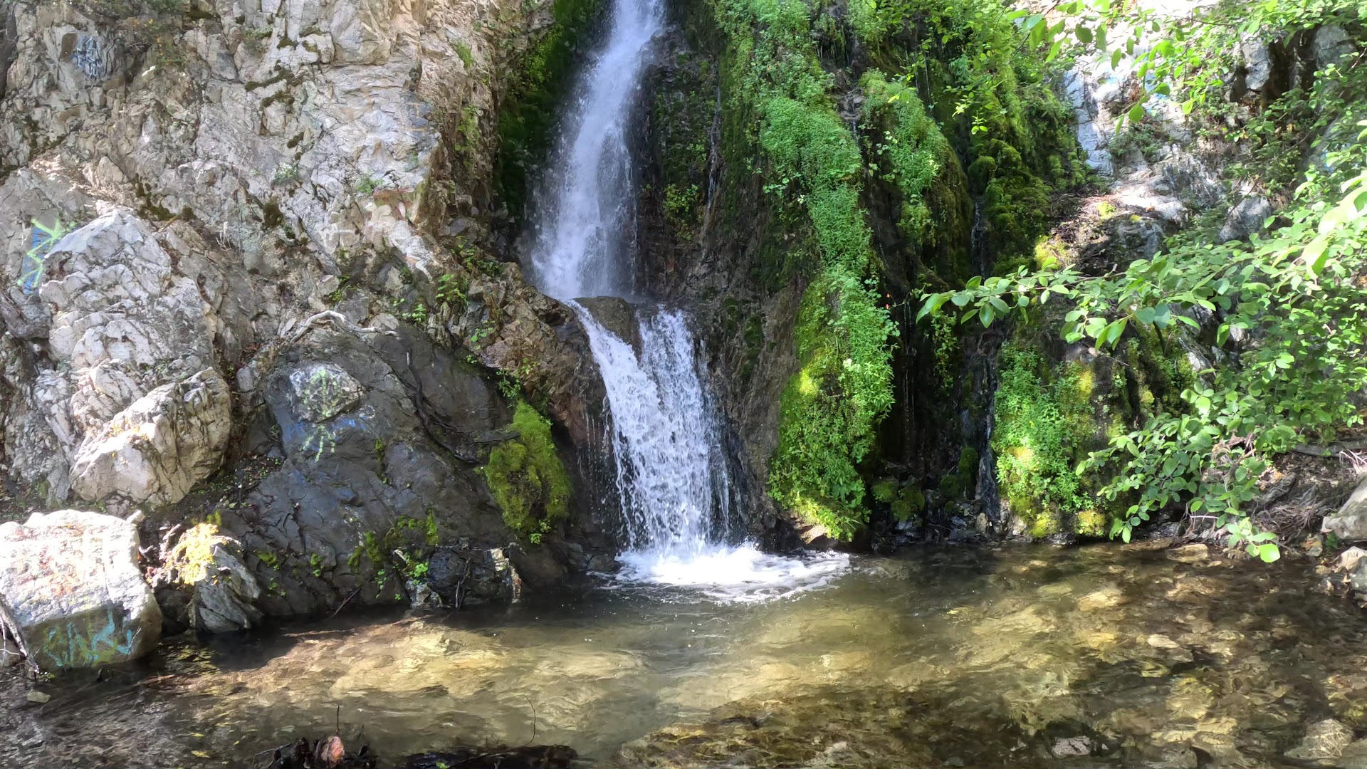
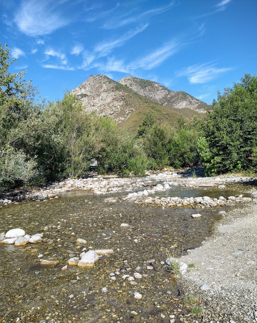
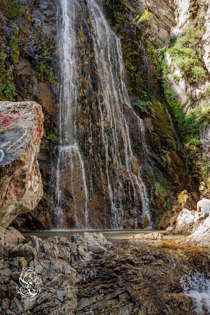
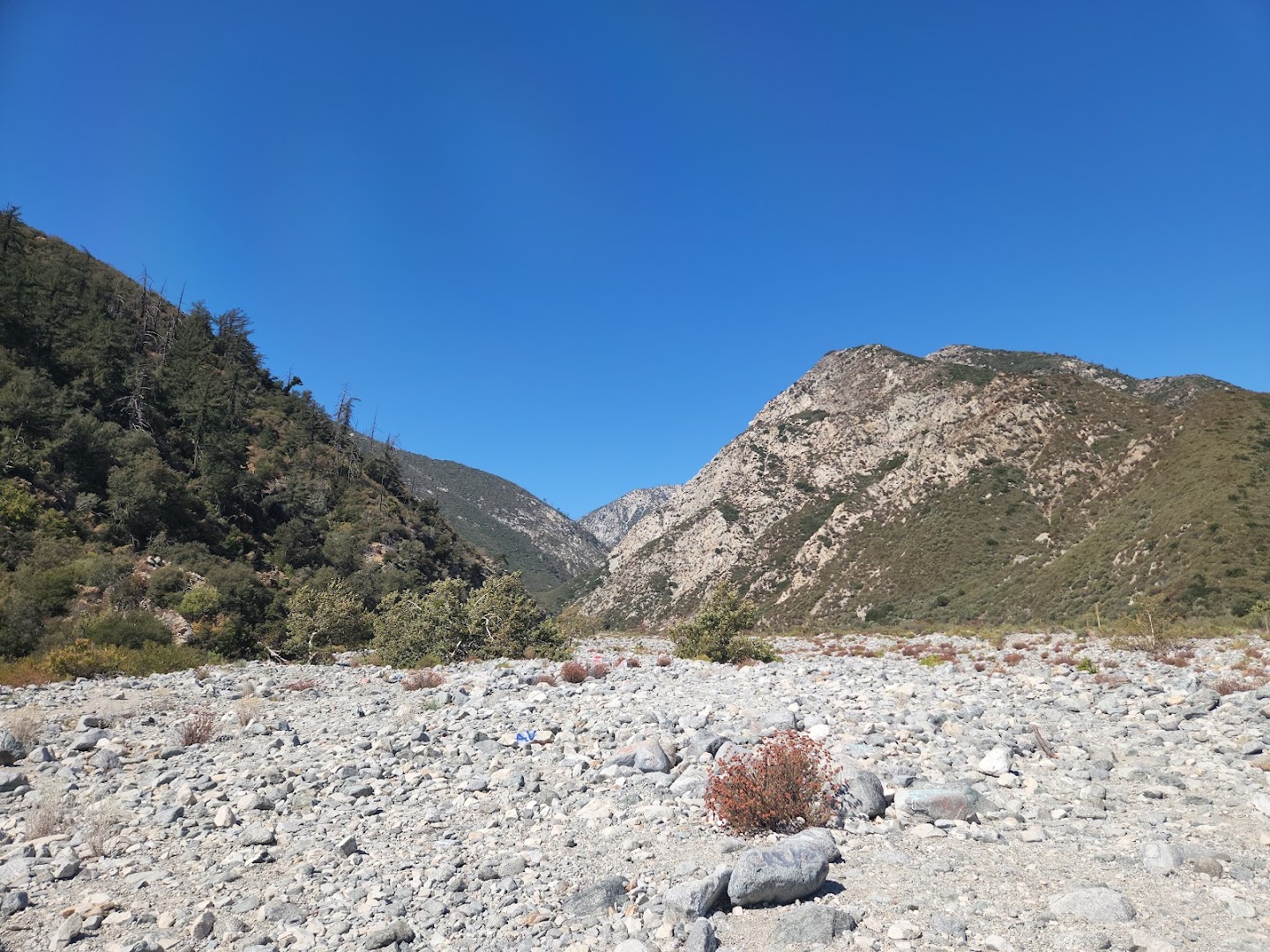
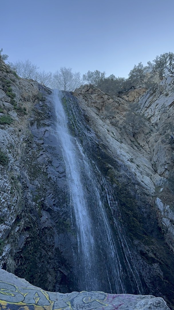
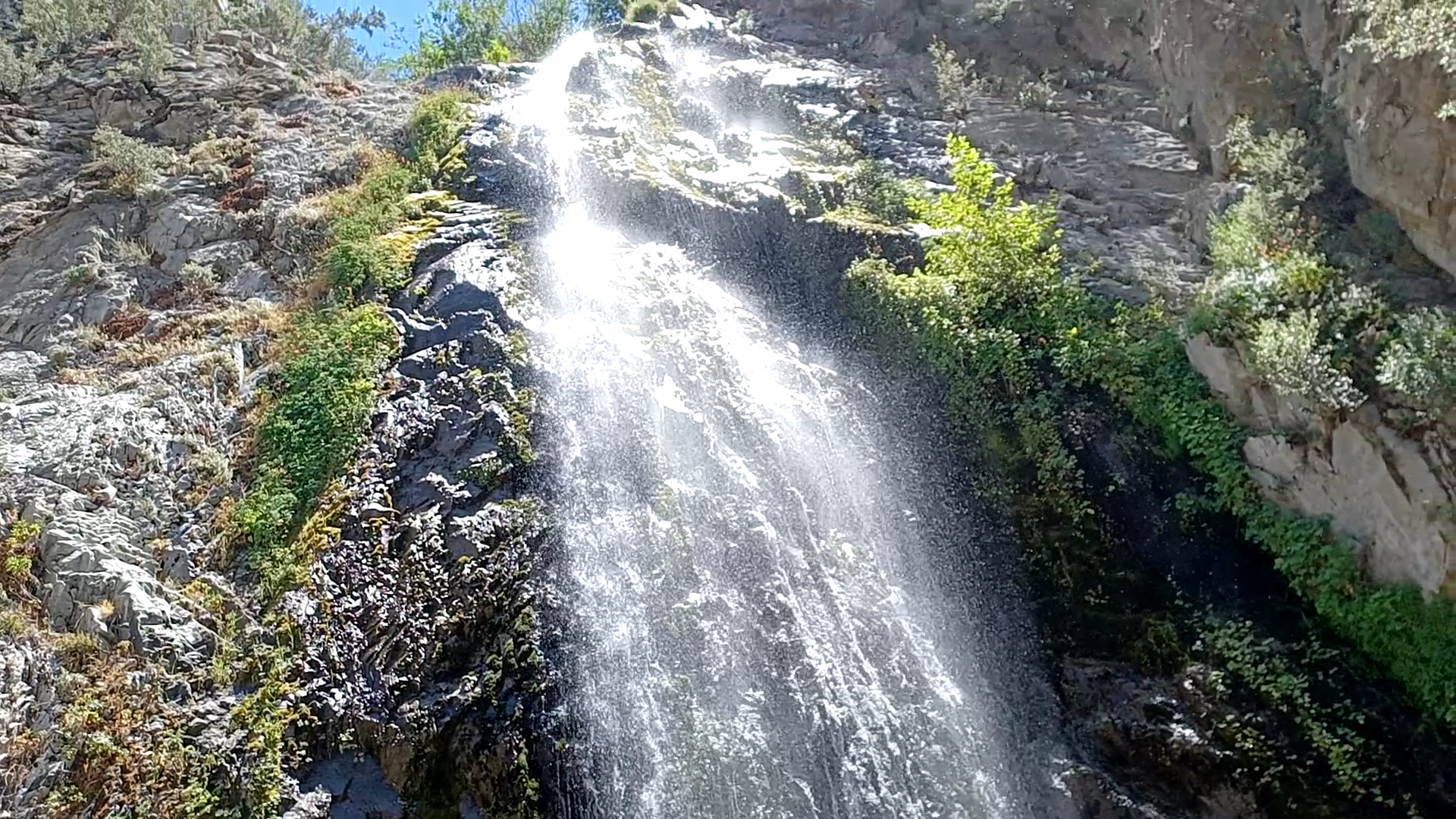
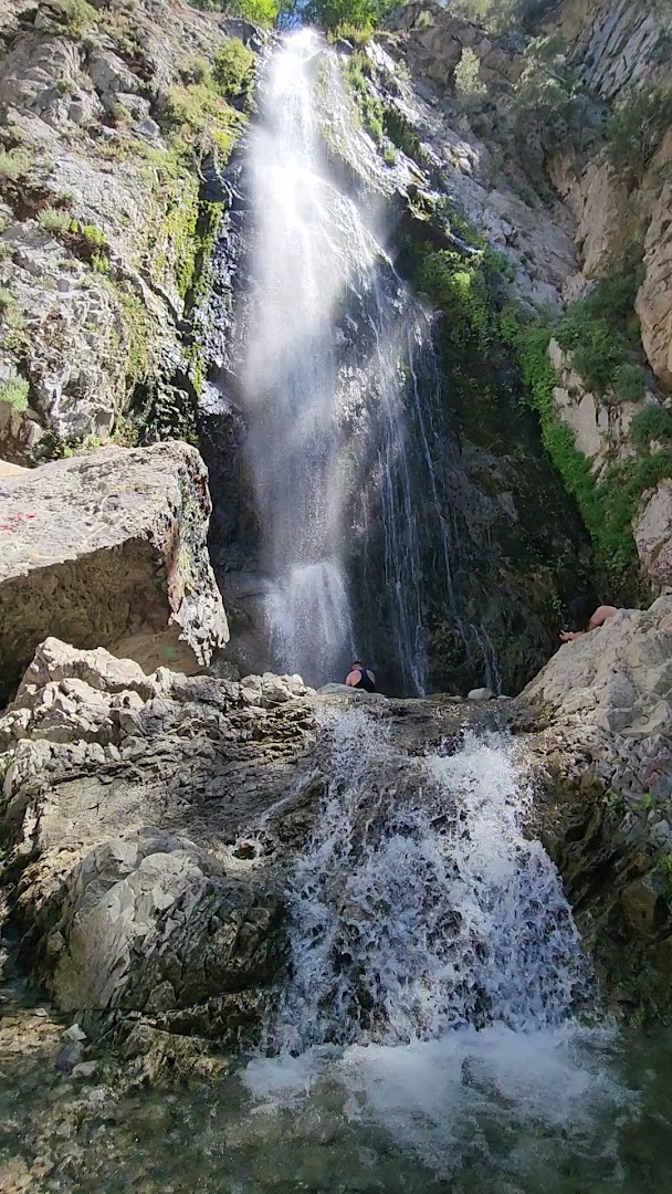
Bonita Falls is celebrated as one of the tallest, most scenic waterfalls in Southern California, nestled in the San Bernardino National Forest near Lytle Creek. Reaching the cascading falls and shallow pool involves a relatively short, roughly 1.8 to 2-mile round-trip hike taking about 30 minutes. Creators frequently highlight the impressive scale of the multi-tiered falls, though the trail requires scrambling across a rocky canyon wash and creek bed.
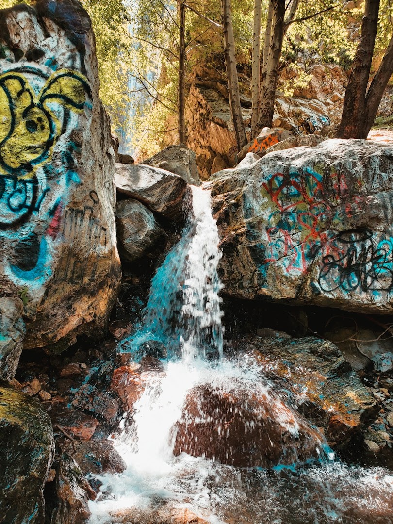
Commenters generally admire the waterfall's beauty—especially after rainfall—and consider it a rewarding family-friendly excursion. However, many voice strong disappointment over widespread graffiti tagging along the route and around the falls. Viewers also stress that creators underestimate the terrain, warning about slippery rocks, potential rockfall near the falls, and rattlesnakes on the trail.
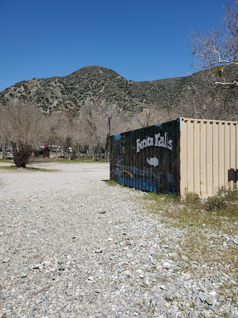
- Purchase a $5 National Forest Adventure Pass in advance for parking on Lytle Creek Road.
- Wear sturdy hiking footwear to handle the rocky wash and slick stones near the water.
- Visit after recent rains to see the falls flowing at full force.
- Watch for hazards including falling rocks near the base and snakes along the trail.
- Prepare for graffiti along the path and surrounding rocks, which creators often omit.
Summaries are created based on reviews, notes, and social media posts.
Photos