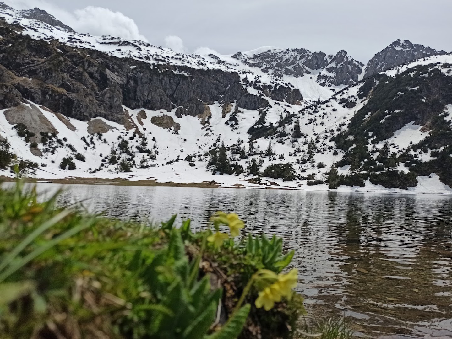
Unterer Gaisalpsee
Oberstdorf
hiking trail

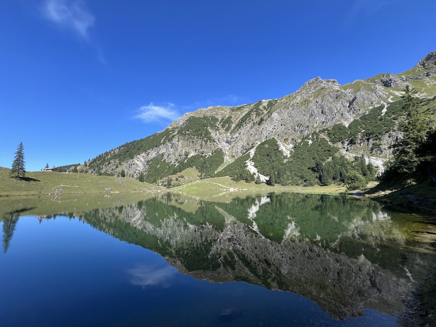
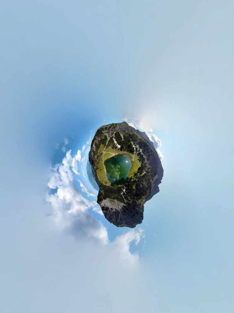
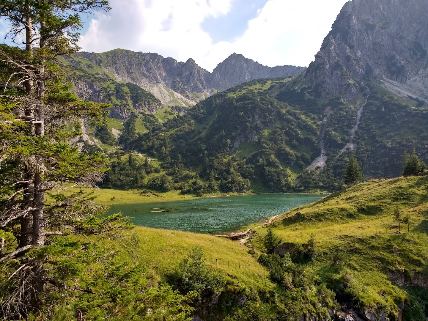
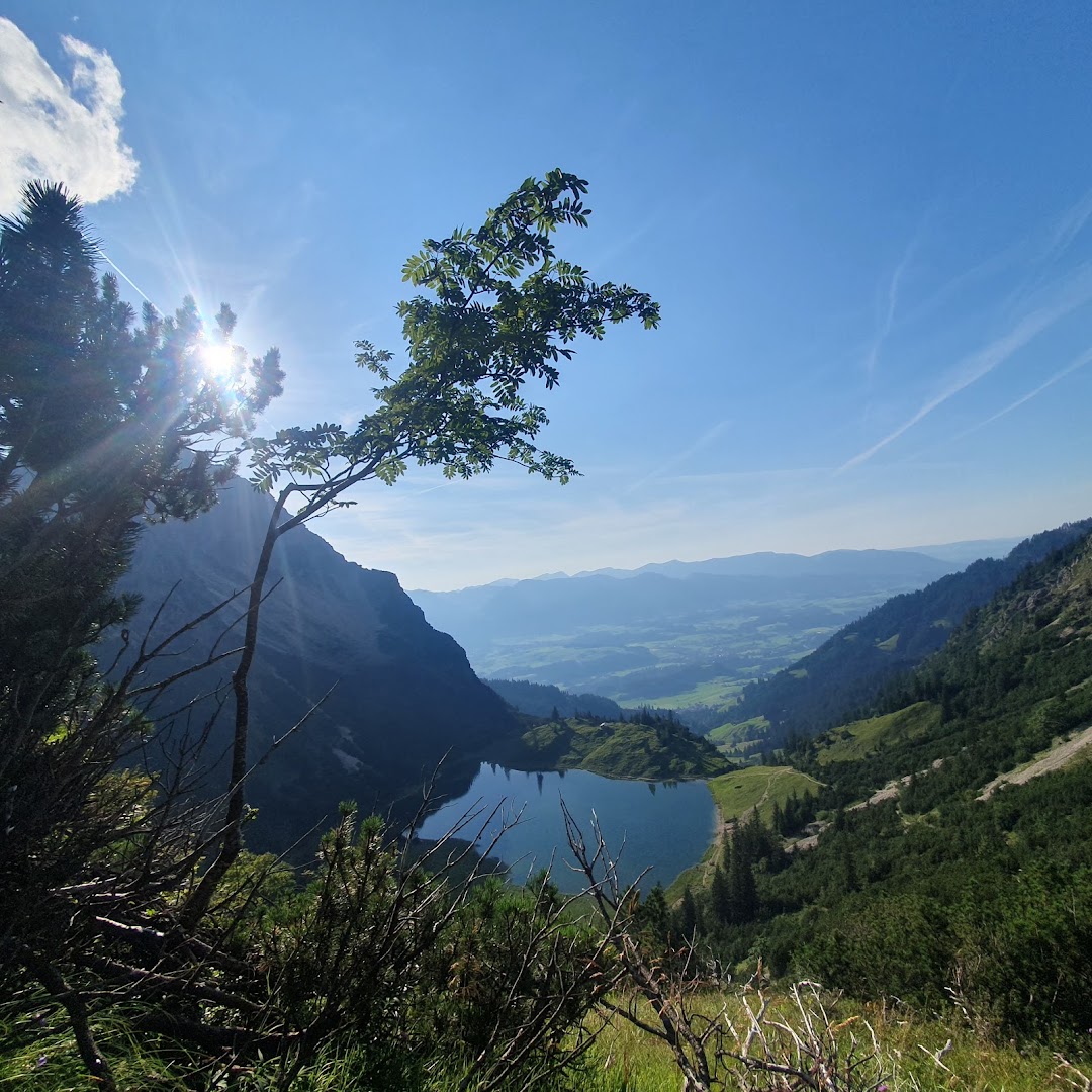
Lower Gaisalpsee is an alpine lake near Oberstdorf in the Allgäu Alps featuring an 8.1 km round-trip trail with panoramic mountain scenery. Further along the trail, hikers can reach elevated viewpoints with a secluded mountain atmosphere or extend the trip toward the upper lake or Rubihorn summit.
Viewers express positive sentiment and high interest in the hike, frequently requesting exact directions, route details, and the name of the starting point. Many commenters also actively seek practical advice regarding seasonal timing, dog-friendliness, crowd mitigation, and trail difficulty for beginners.
- Hike during sunrise or sunset to avoid daytime crowds.
- Tackle the 8.1 km round-trip trail or extend it toward the upper lake or Rubihorn summit.
- Verify the exact starting point name and navigation route before heading out.
- Check seasonal timing, trail difficulty for beginners, and dog-friendliness in advance.
Summaries are created based on reviews, notes, and social media posts.
Photos
Share View on Google Maps