




Skyline Trail

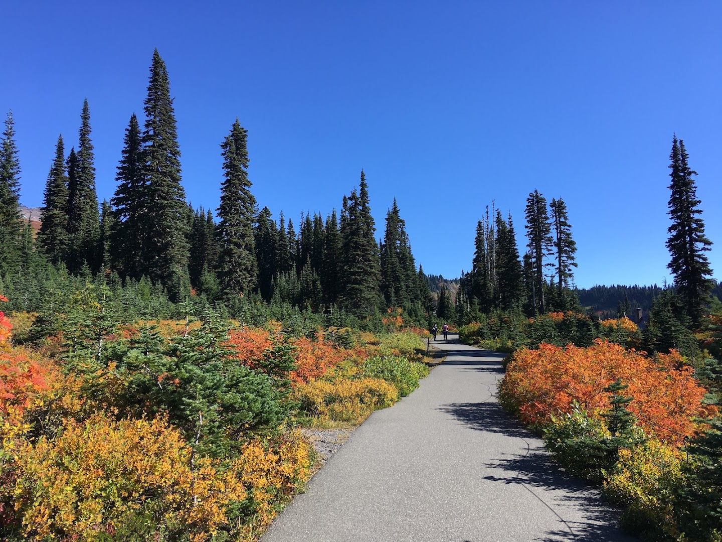
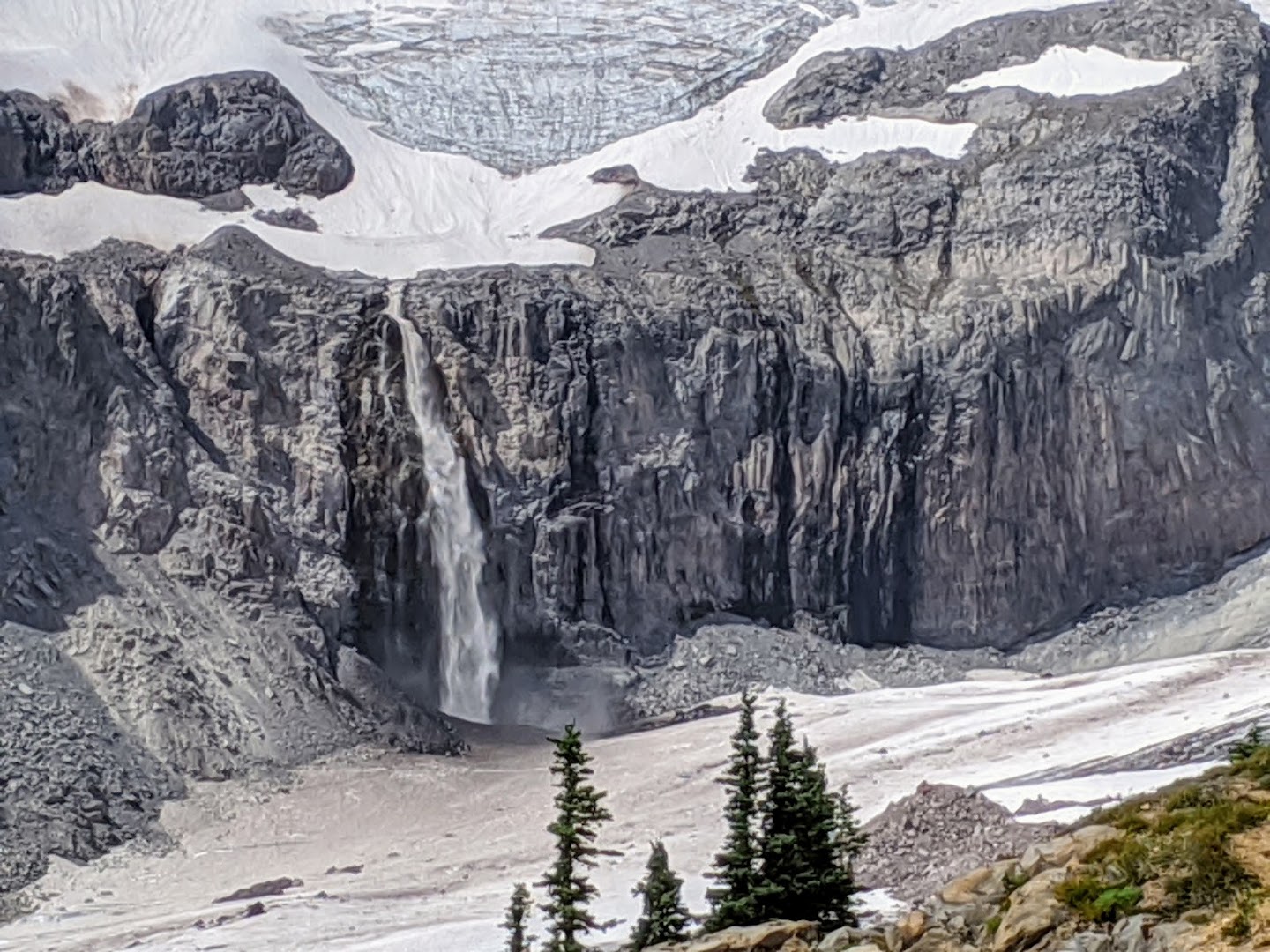
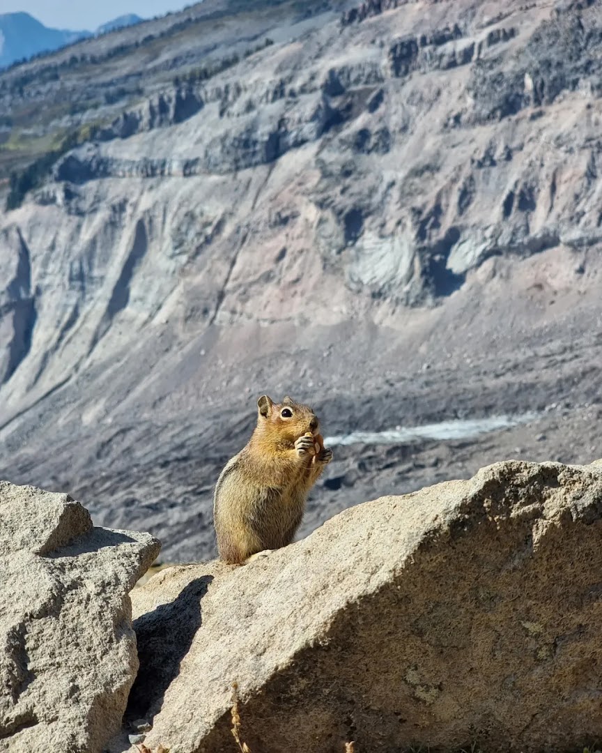
The Skyline Trail is a demanding roughly 5.5 to 6-mile loop departing from Paradise in Mount Rainier National Park, celebrated for its dramatic, up-close panoramas of Mount Rainier and surrounding glaciers like Nisqually. Hikers frequently encounter cascading waterfalls such as Myrtle Falls, subalpine meadows bursting with late-summer wildflowers or vibrant autumn foliage, and abundant wildlife including marmots, pikas, and mountain goats. Reaching key vantage points like Panorama Point, it is widely considered the park's premier signature day hike.
Commenters are enamored with the trail's fairytale-like alpine vistas, frequently naming it a top bucket-list hike in the Pacific Northwest. Practical discussions dominate the feedback, with prospective visitors actively asking about loop direction, parking logistics, and seasonal timing. While heavy crowds and steep initial paved paths draw mild critique, hikers note that foot traffic noticeably thins out at higher elevations.
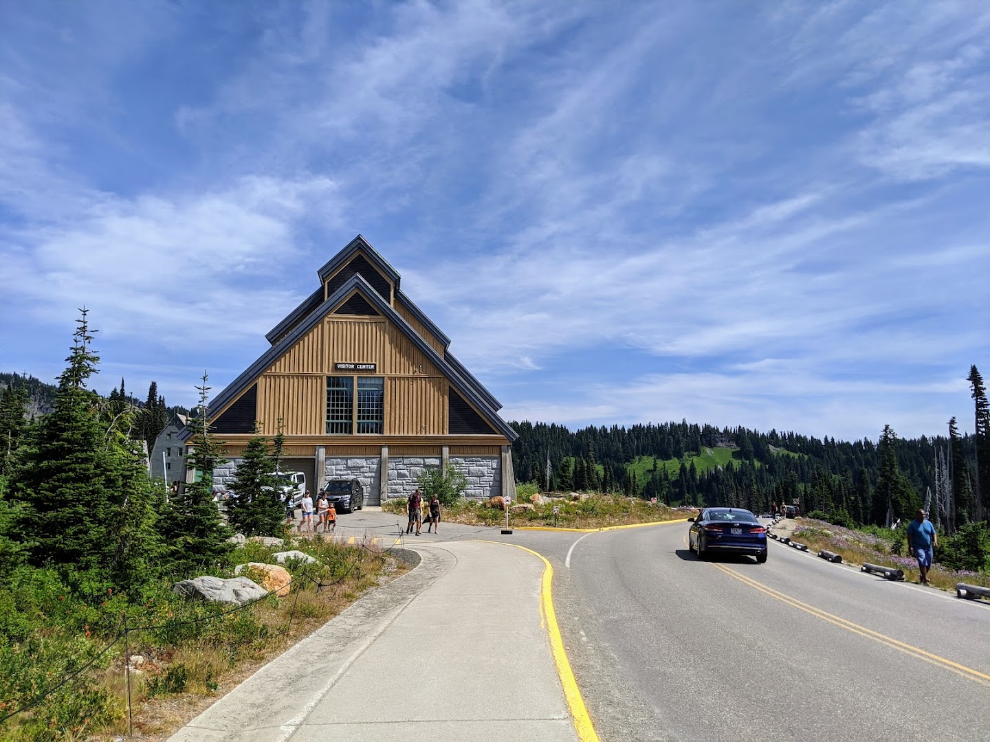
- Start early in the morning to beat heavy crowds and secure parking at Paradise
- Visit in August for peak wildflower blooms or early fall for colorful foliage
- Expect a strenuous 5.5 to 6-mile hike with approximately 1,700 feet of elevation gain
- Keep an eye out for wildlife such as marmots, pikas, and mountain goats along the upper slopes
- Push past the crowded paved lower paths—foot traffic noticeably thins out higher up
- Don't miss key viewpoints along the loop like Myrtle Falls and Panorama Point
Summaries are created based on reviews, notes, and social media posts.
Photos