Bentonite Hills
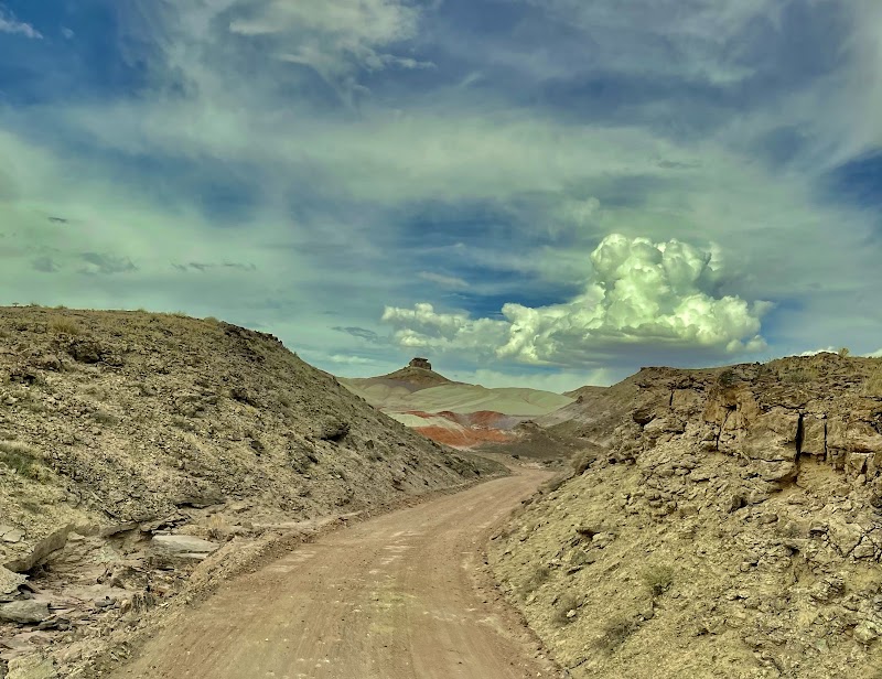
Hartnet Road

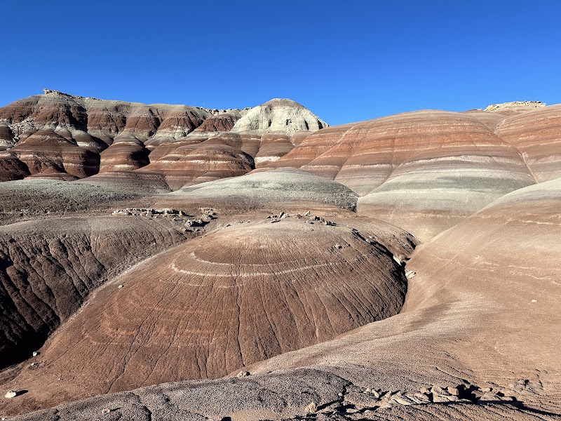
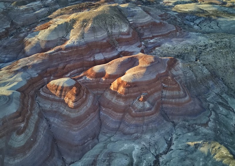
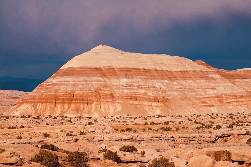
Bentonite Hills in Utah is renowned for its vibrant, rainbow-banded clay badlands that create an otherworldly landscape frequently compared to the surface of Mars. Creators highlight that the striking purple, blue, and red hues look most intense during blue hour or overcast conditions, with aerial drone footage offering the best perspective of the rolling patterns. Because of its remote desert location, visitors consistently emphasize that accessing the area requires high-clearance 4WD vehicles and navigation by exact coordinates.
Commenters are largely captivated by the surreal scenery, often calling it a dream bucket-list destination and comparing it to sci-fi films or Martian landscapes. However, discussions frequently mention the extreme remoteness and rough roads, alongside practical warnings like watching gas levels and checking the weather. Some viewers also express skepticism over heavily saturated online photos and voice concerns regarding over-tourism and geotagging.
- Arrive during 'blue hour' (dawn or dusk) or on overcast days for the richest colors.
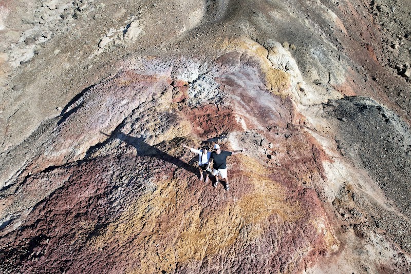
- Fly a drone if possible, as the banded patterns are most striking from above.
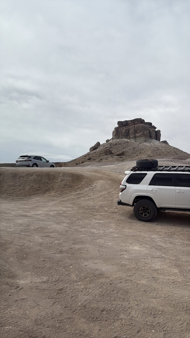
- Drive a high-clearance 4WD vehicle to handle rough access routes like Cow Dung Road.
- Download offline maps and exact coordinates ahead of time due to zero cell service.
- Fill up your gas tank and pack all water and supplies, as there are no nearby facilities.
Summaries are created based on reviews, notes, and social media posts.
Photos