Loading map...

⛰ 10 photos

Mt Lukens

Los Angeles

4.6 (46) hard-hike
Directions
  • Features a strenuous 8.1-mile round-trip distance
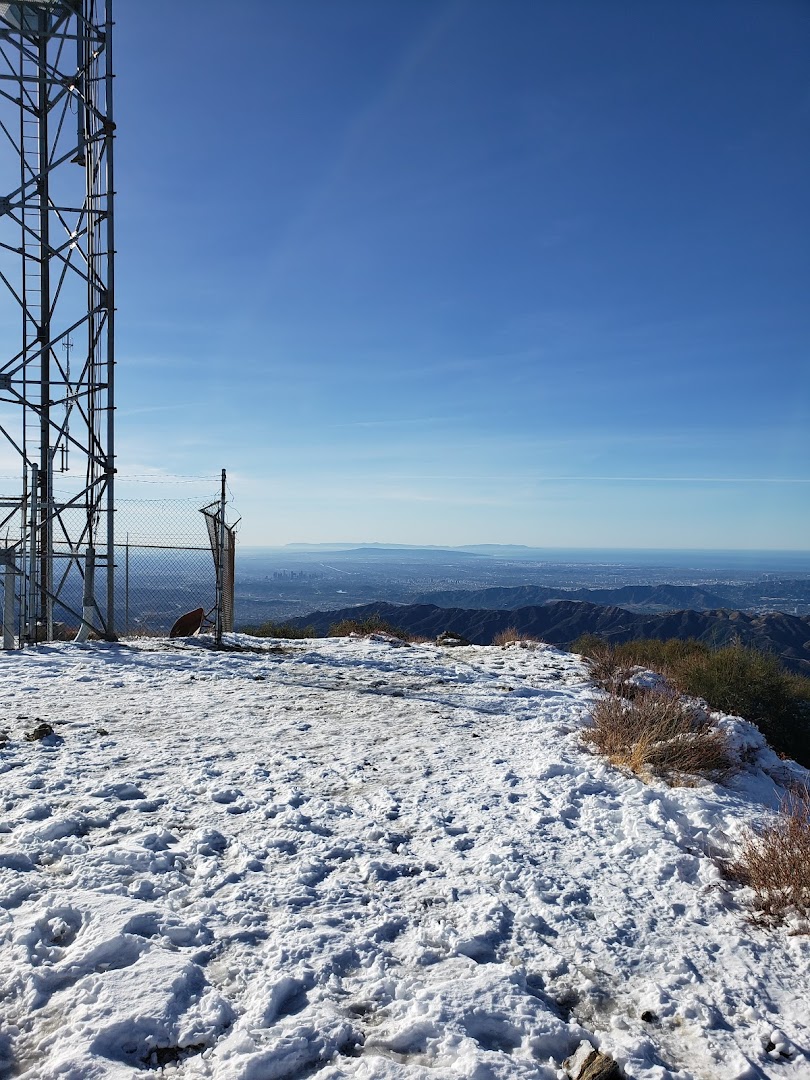
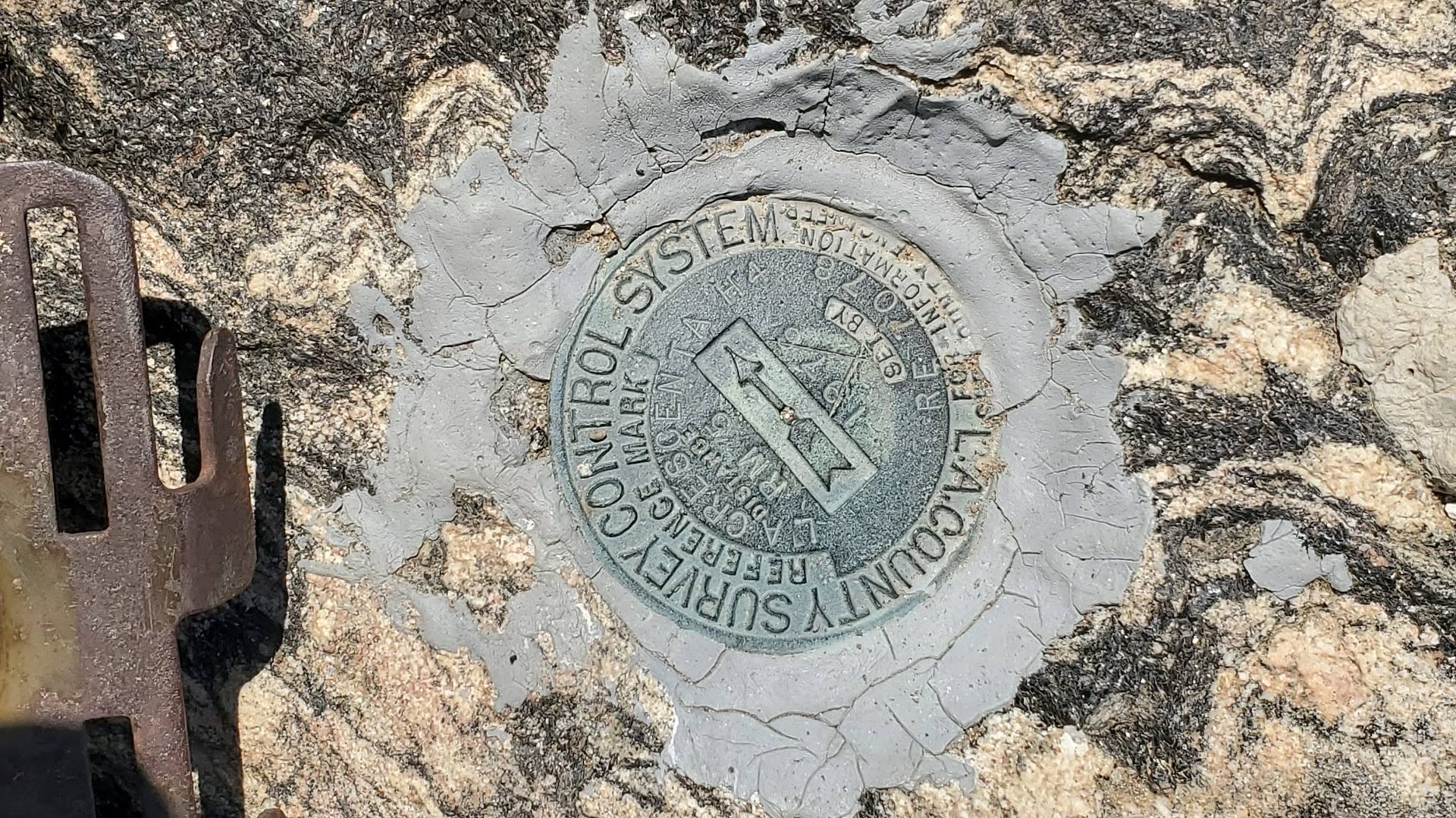
  • Reaches the highest geographic point in the City of Los Angeles
  • Involves a substantial elevation gain of 3,310 feet
  • Utilizes the Stone Canyon route for the ascent
  • Characterized as a difficult and physically demanding trek

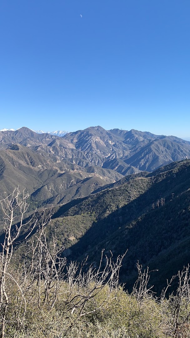
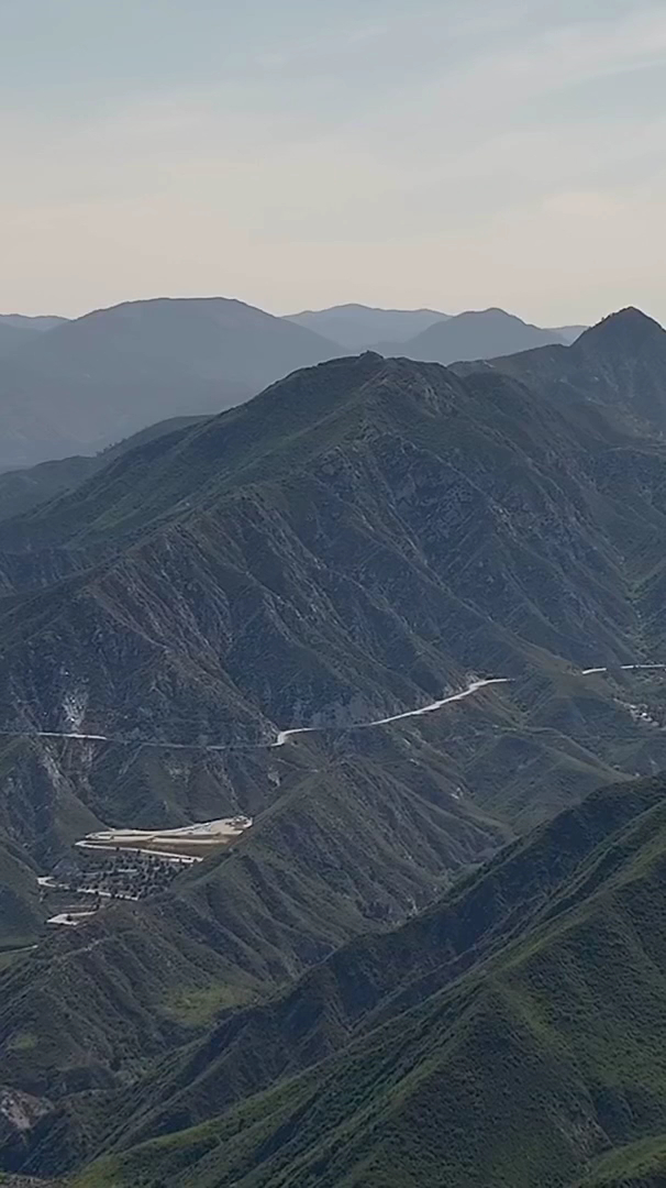
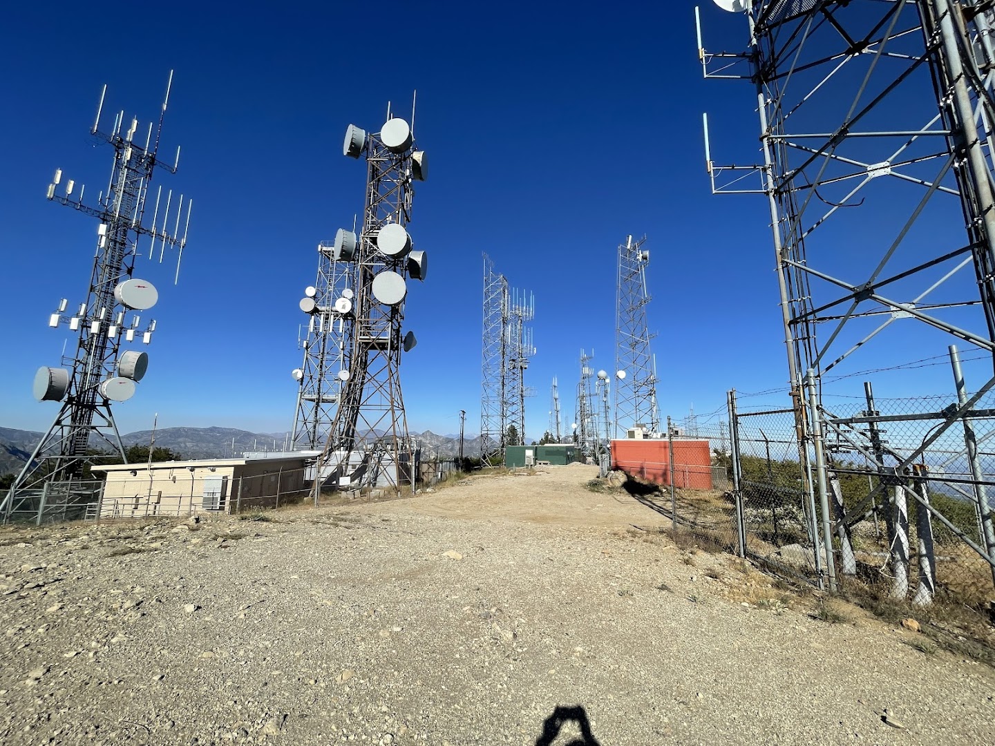
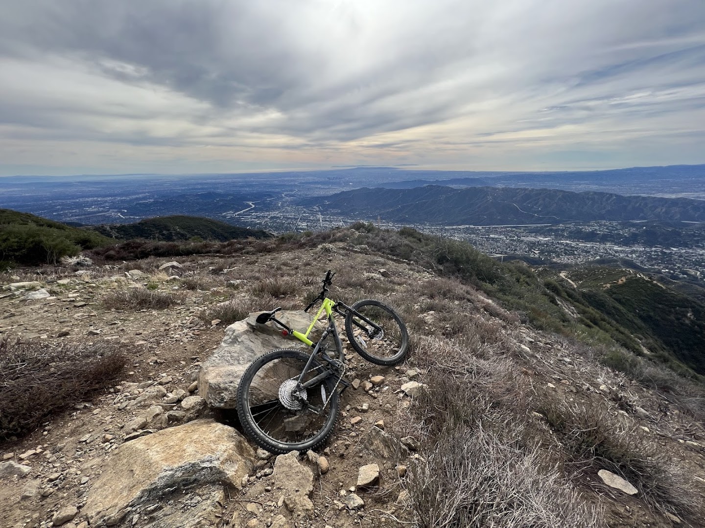
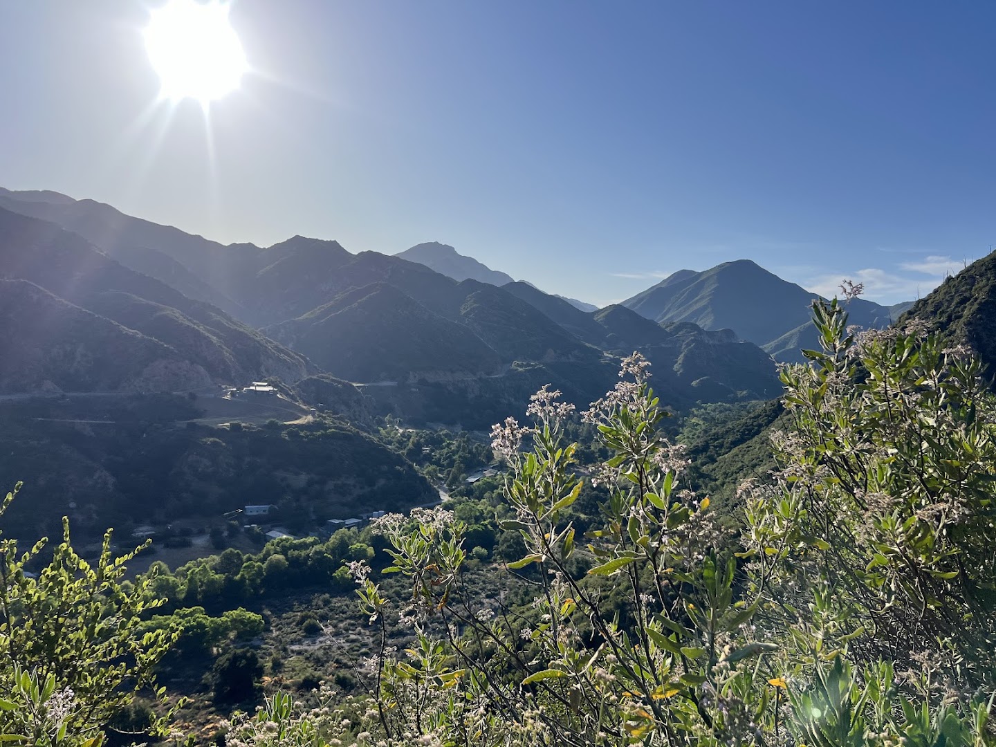
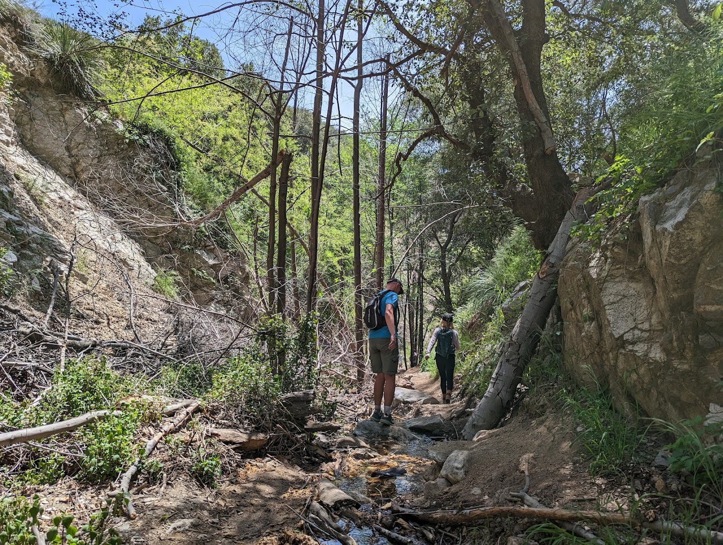
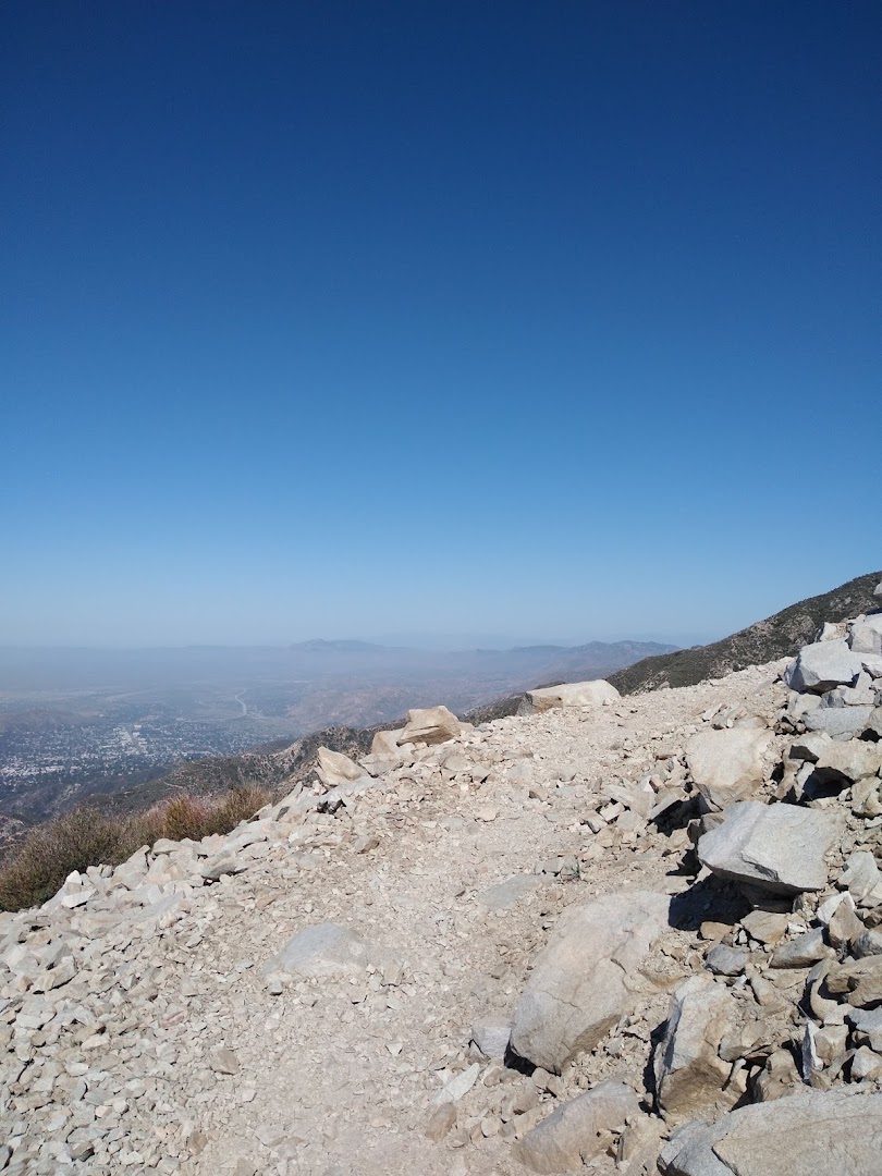
This challenging 8.1-mile hike via Stone Canyon leads to the highest point within the City of Los Angeles. It requires navigating a significant 3,310-foot elevation gain, making it a demanding trek for visitors.

Summaries are created based on reviews, notes, and social media posts.


Photos

Mt LukensMt LukensMt LukensMt LukensMt LukensMt LukensMt LukensMt LukensMt LukensMt Lukens