Potash Road
Moab

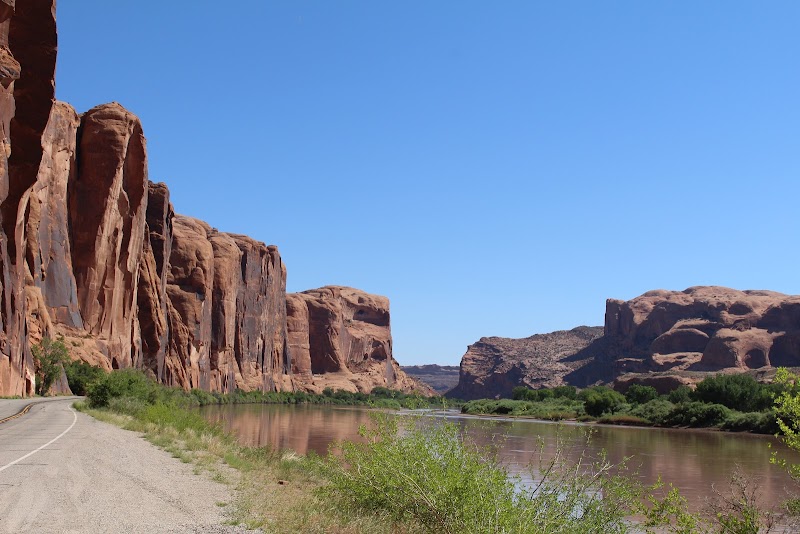
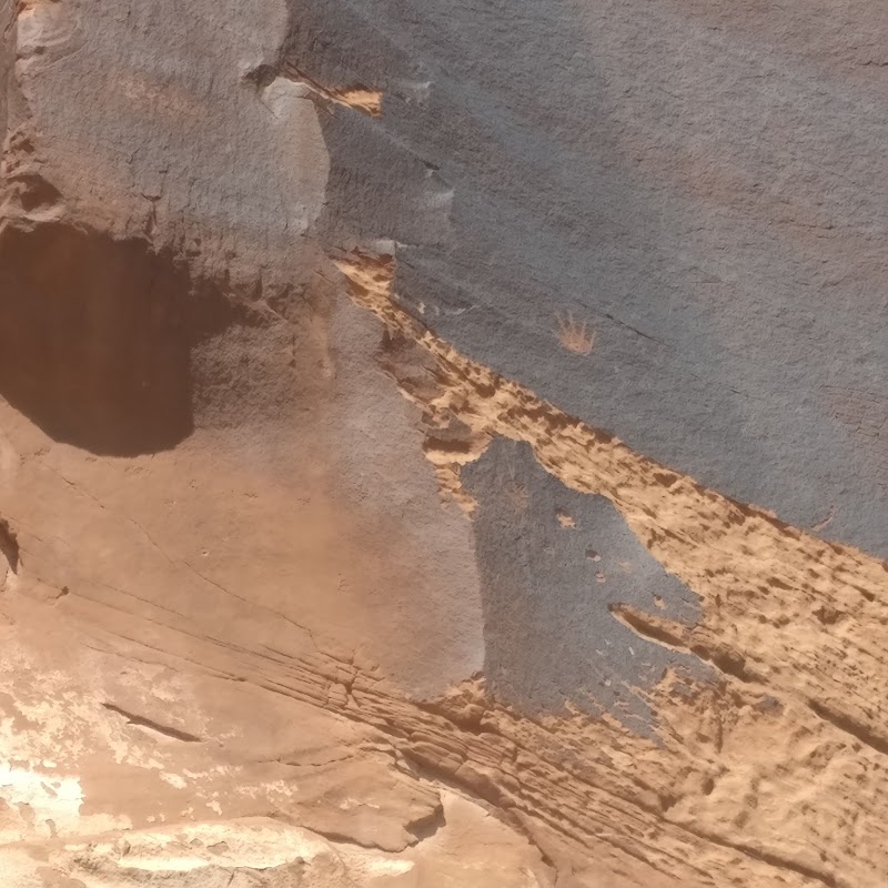
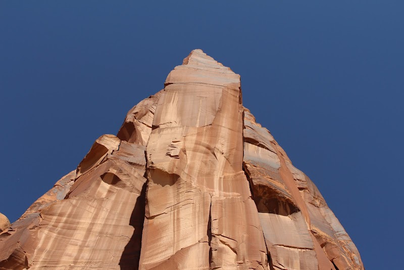
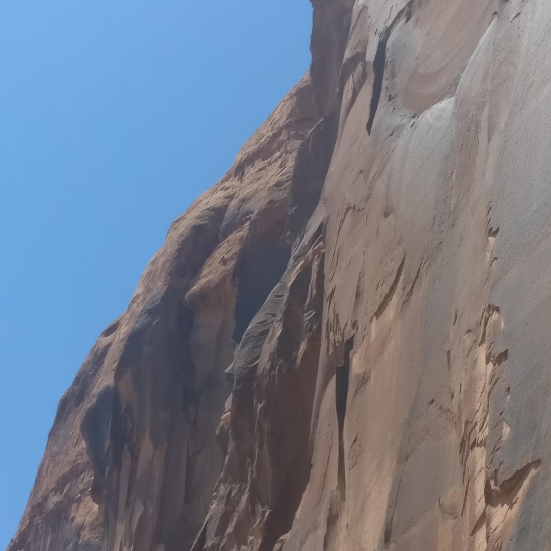
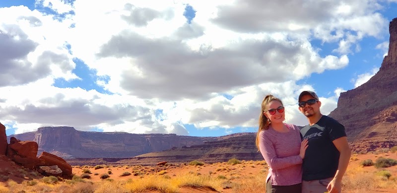
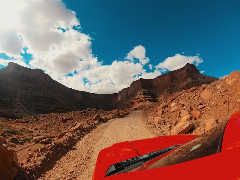
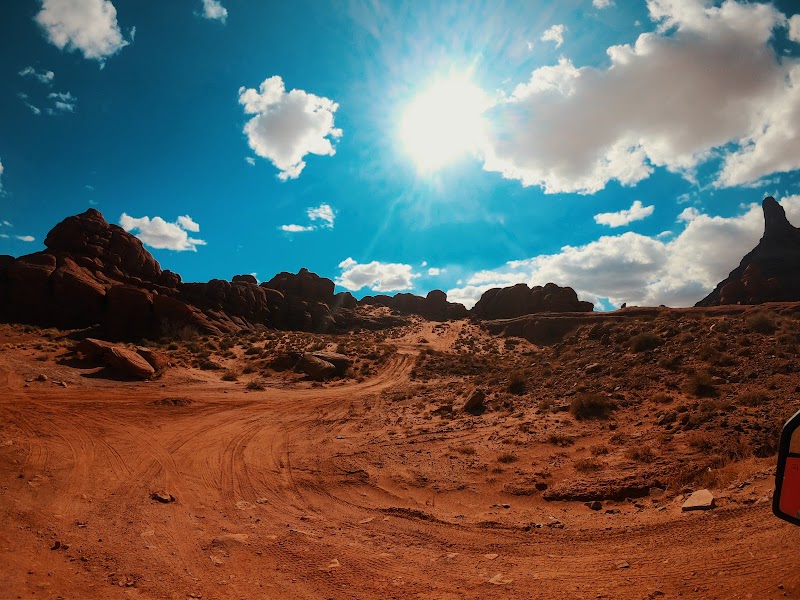
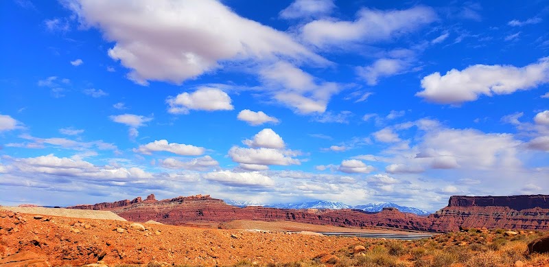
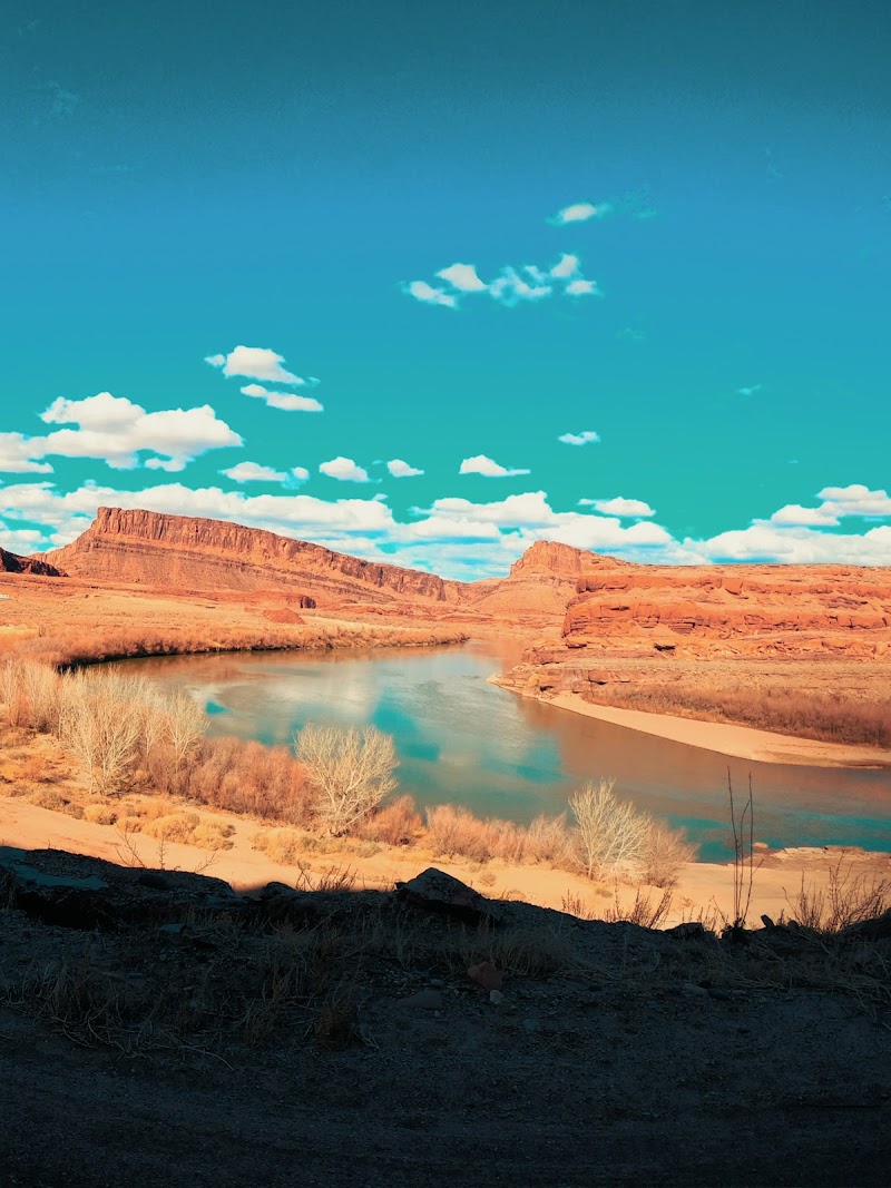
Potash Road is a scenic drive near Moab that traces the Colorado River beneath towering, sheer red sandstone cliffs. Creators highlight its access to premier outdoor activities and attractions, including world-class rock climbing walls, ancient petroglyphs, fossilized dinosaur tracks, and the Corona Arch trailhead. The route also offers views of vivid turquoise potash evaporation ponds before transitioning into a graded dirt road linking to Canyonlands and the Shafer Trail.
Commenters consistently express awe at the cinematic red rock scenery, frequently likening the drive to classic Western movies and expansive desert landscapes. Viewers often share personal trip stories, reporting frequent wildlife sightings such as deer and mountain lions. Discussions frequently turn to trip planning logistics, including debates over whether low-clearance vehicles can handle continuing along connecting backcountry routes.
- Scan the canyon walls for roadside petroglyphs, dinosaur tracks, and rock climbers.
- Access the trailhead for the Corona Arch hike just off the roadway.
- Keep watch for native wildlife, including mule deer and occasional mountain lions.
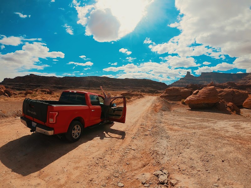
- Expect paved conditions initially, transitioning to graded dirt as you head toward Canyonlands.
- Check vehicle clearance recommendations if planning to continue up the rugged Shafer Trail.
Summaries are created based on reviews, notes, and social media posts.
Photos