Josephine Peak

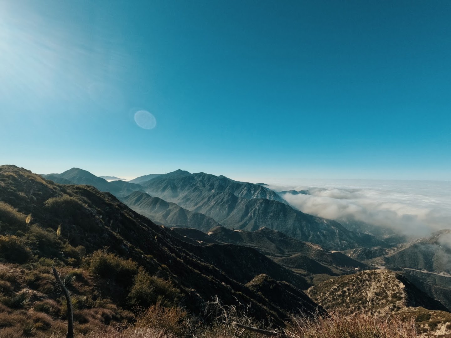
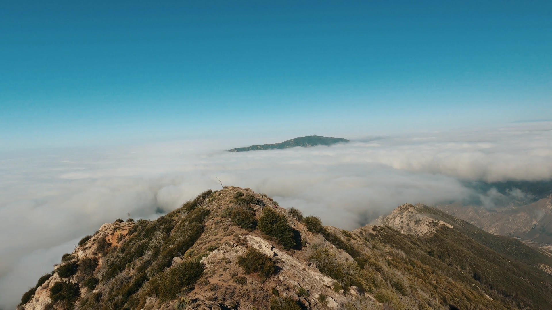
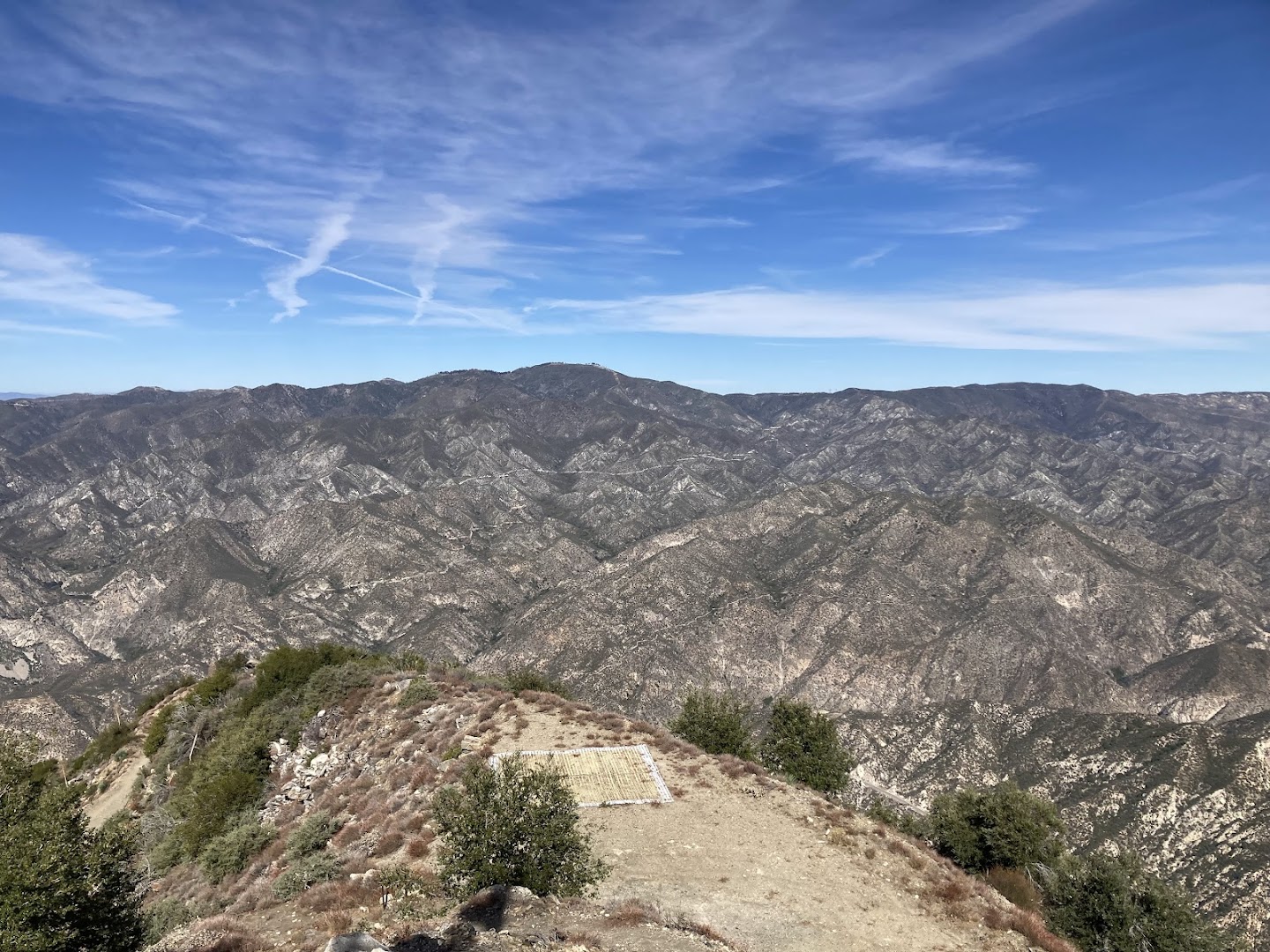
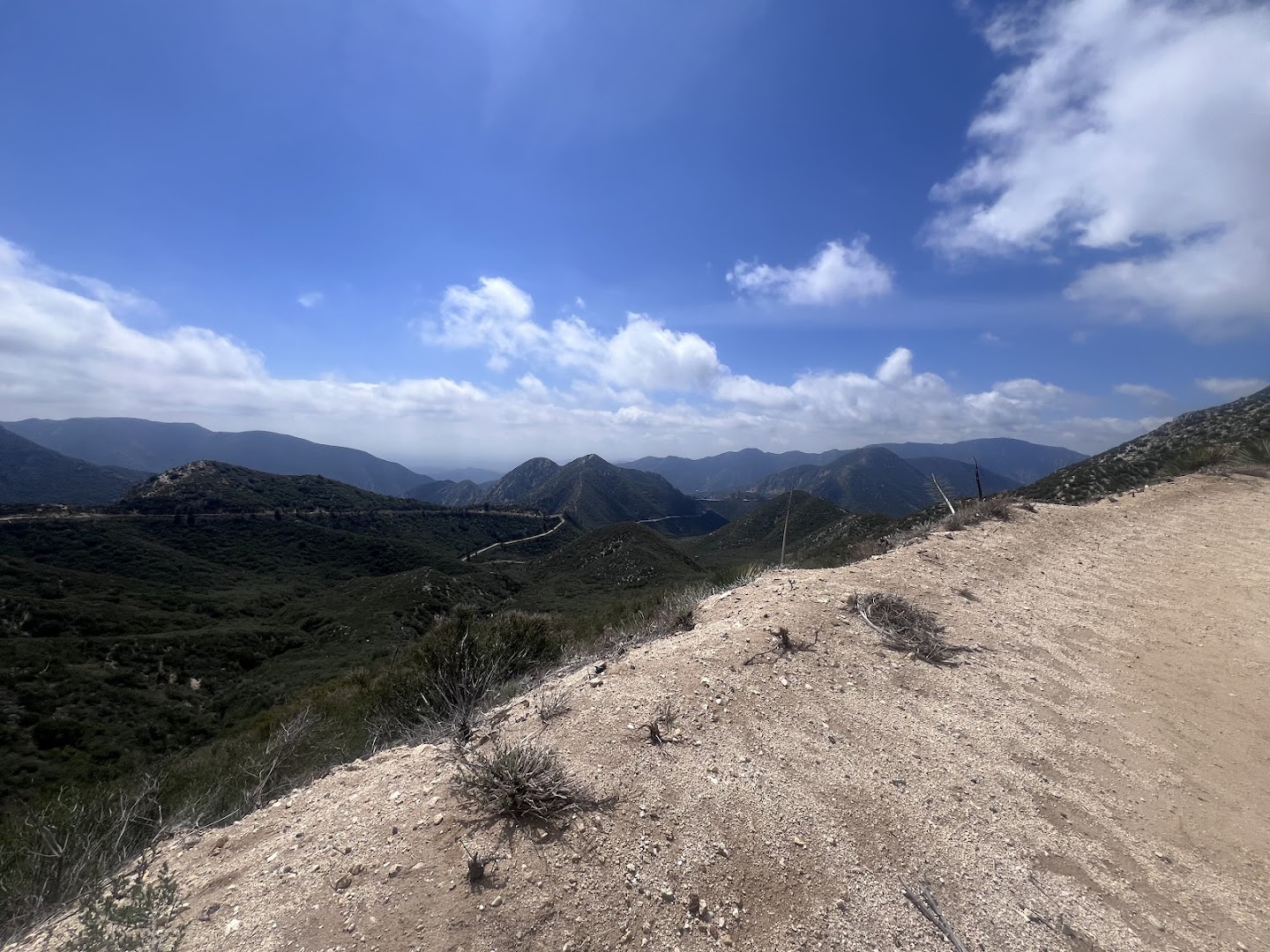
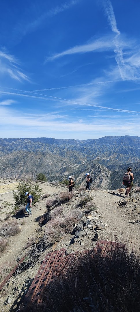
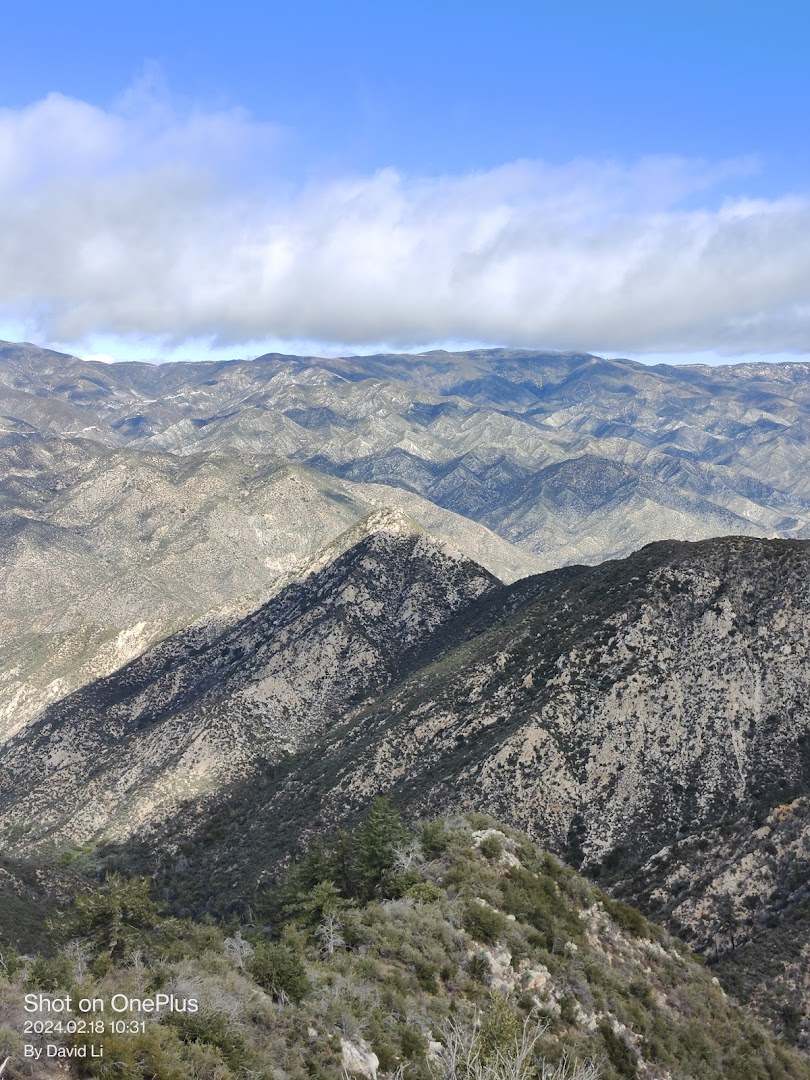
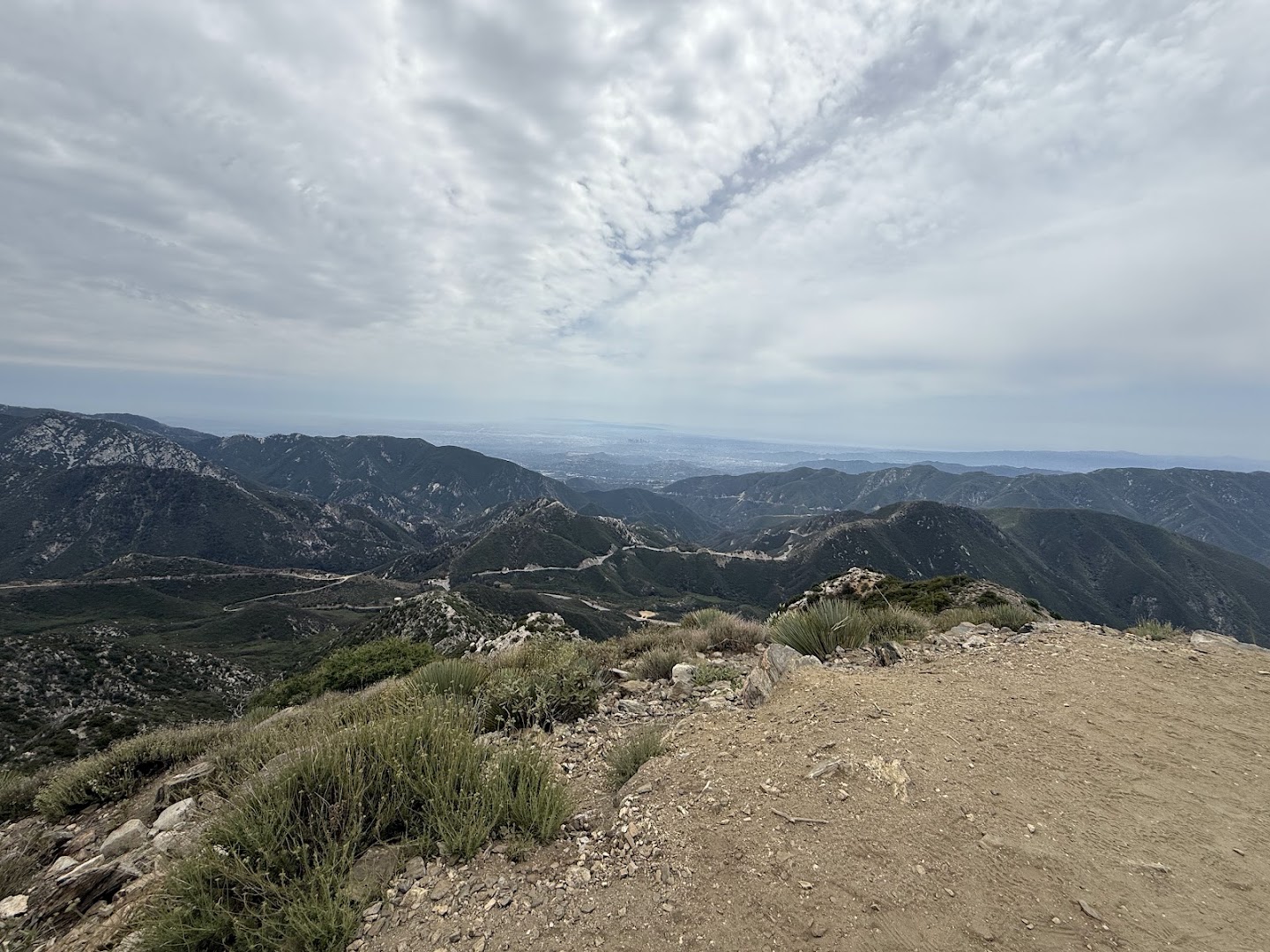
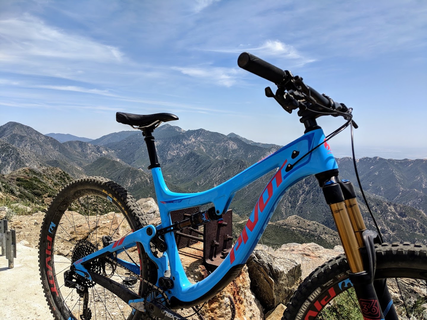
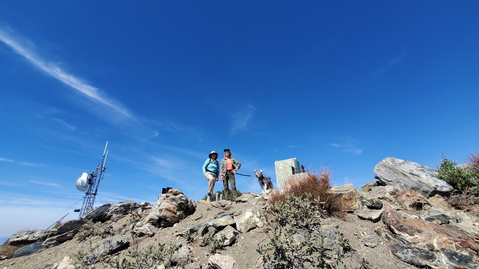
Josephine Peak is a moderate 8.1 to 8.5-mile round-trip hike along a fire road in the San Gabriel Mountains, climbing nearly 1,900 feet of elevation. Creators showcase the rugged terrain, communications towers at the summit, and stunning panoramas that stretch across mountain ridges and distant city skylines. It is especially praised for offering a magical experience of standing above the clouds and catching expansive sunset views.
Commenters express great enthusiasm for the trail's visuals and share their own experiences tackling regional peaks. Discussions heavily focus on practical logistics and safety, noting that the winding drive to the trailhead is often riskier than encounters with wildlife.
- Hike an 8.1 to 8.5-mile round trip along a fire road with ~1,889 ft of elevation gain
- Aim to start around 7:00 AM, especially during the ideal months of May and June
- Take your time and drive cautiously on the mountain roads heading to the trailhead
- Stay for expansive sunset vistas and potential views above the clouds
Summaries are created based on reviews, notes, and social media posts.
Photos