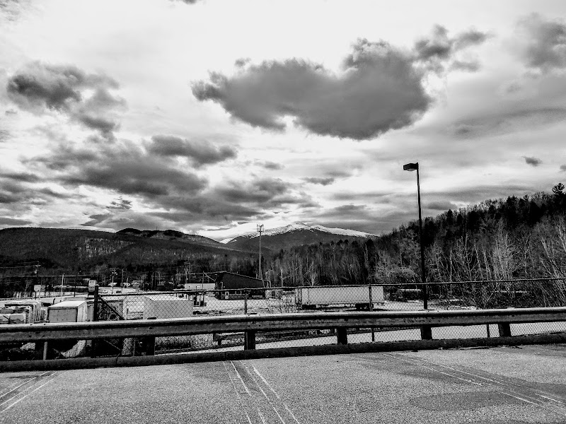
Presidential Range
Natural Feature in Sargent's Purchase

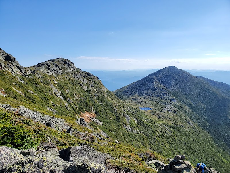
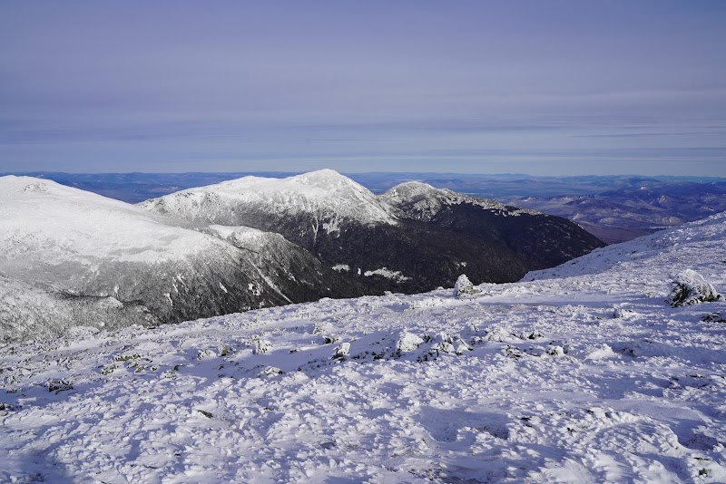
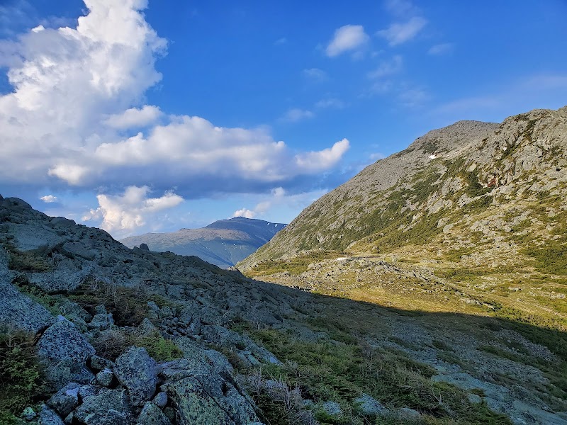
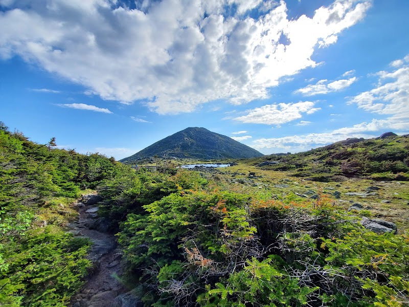
The Presidential Range offers a massive traverse across the highest peaks in the Northeast, including Mount Washington, Jefferson, and Adams. This iconic route is defined by endless exposed ridgelines and extreme mountain scenery that provides a challenging high-altitude experience. It is widely recognized for its dramatic vistas and rugged alpine terrain.
Viewers express a blend of admiration for the Presidential Range's scenic beauty and caution regarding the intense physical demands and safety risks for novice hikers. While many celebrate personal achievements on the trails, there is notable criticism concerning the use of AI imagery and the potential for underestimating the strenuous nature of the hikes.
- Prepare for intense physical exertion and high-altitude conditions.
- Do not underestimate the difficulty, especially if you are a novice hiker.
- Be skeptical of overly polished AI imagery when researching the route.
- Ensure you have proper gear for highly exposed ridgelines.
- Plan for a strenuous journey across Mount Washington, Jefferson, and Adams.
Summaries are created based on reviews, notes, and social media posts.
Photos