Hiking Trail Bonita Falls
Lytle Creek

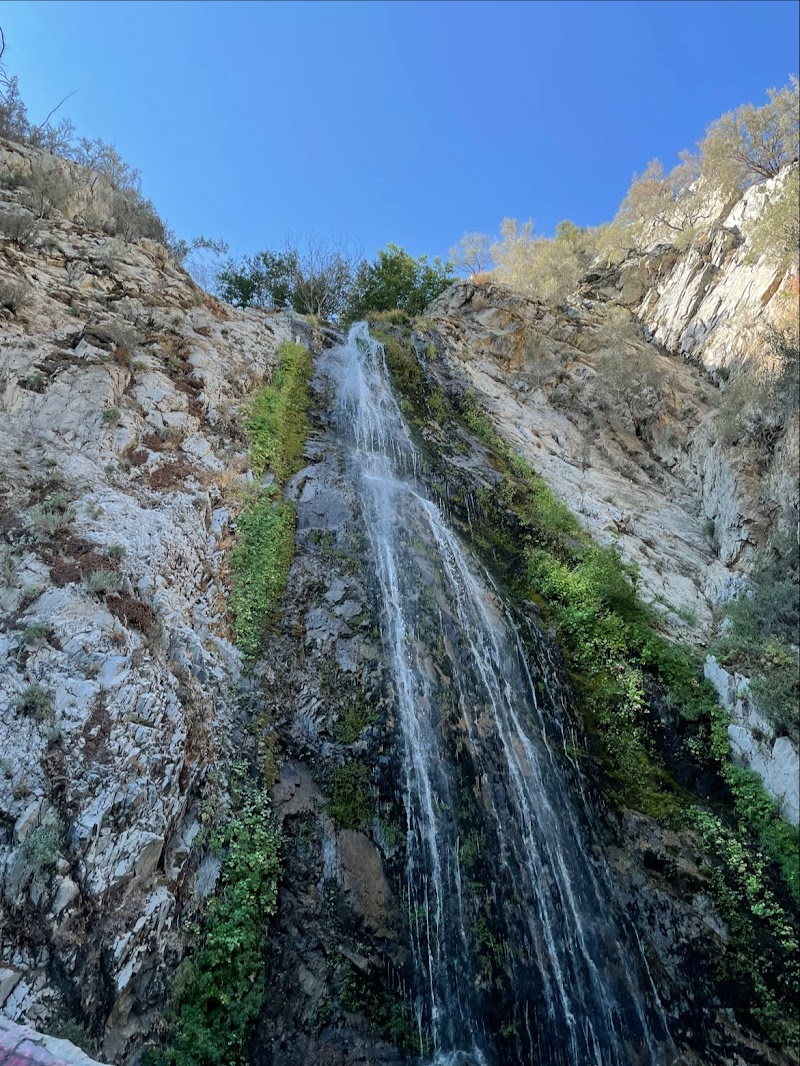
Bonita Falls is an out-and-back trail near Lytle Creek leading to a tall, impressive waterfall with a powerful flow. Roughly two miles round trip, the route navigates a rocky riverbed with stream crossings before ending in a short, steep climb to the cascade's base. It is considered a top-tier Southern California waterfall hike, though parking near the dirt lot can fill up quickly on weekends.
Commenters express mixed sentiments, appreciating the natural beauty while lamenting issues like vandalism, with one user dubbing it 'Graffiti Falls.' Many emphasize strong trail etiquette, urging visitors to practice Leave No Trace principles and refrain from playing loud music on speakers.
- Park near the dirt lot by the trailhead
- Arrive early to avoid heavy weekend crowds
- Prepare for rocky terrain and stream crossings with sturdy footwear
- Expect a short, steep climb right before reaching the falls
- Practice Leave No Trace and avoid using external speakers on the trail
Summaries are created based on reviews, notes, and social media posts.
Photos