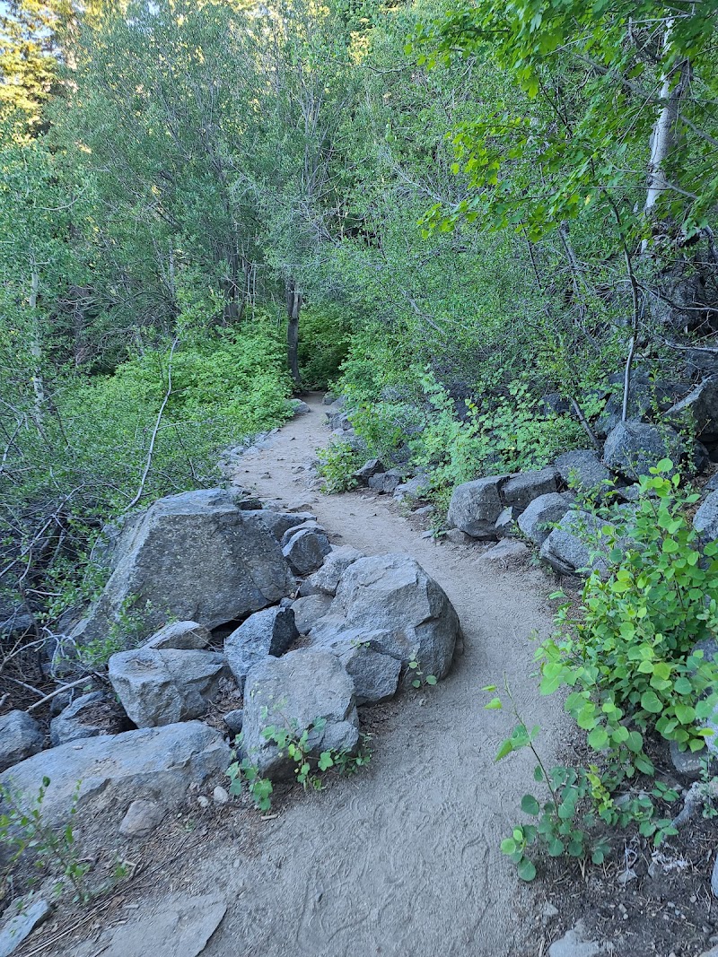
Rubicon Trail
South Lake Tahoe

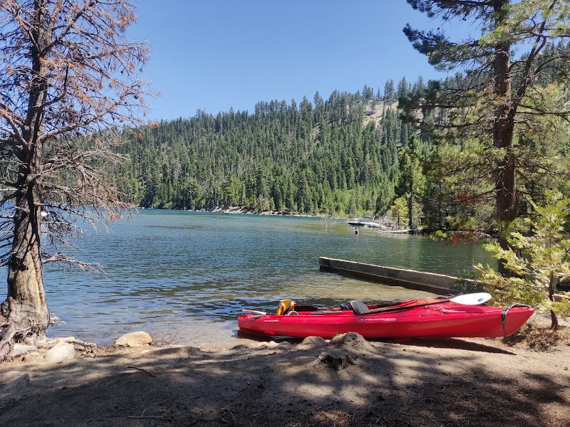
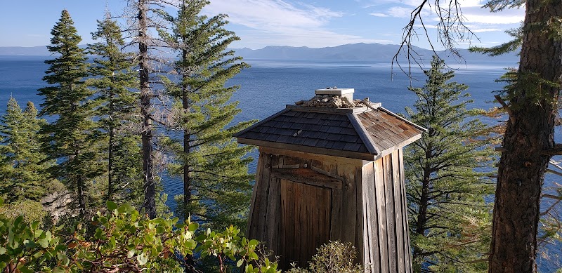
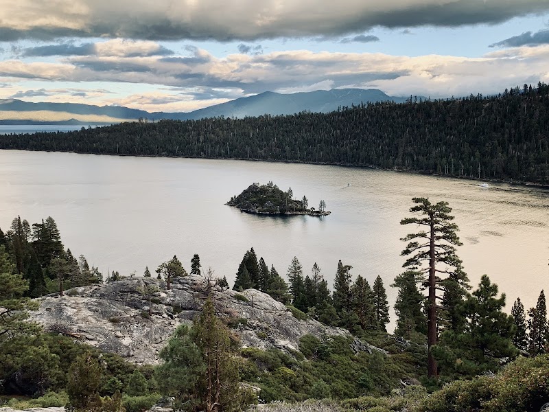
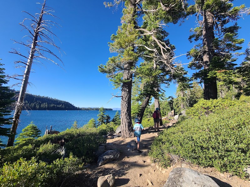
The Rubicon Trail is a scenic lakeside trail at Lake Tahoe connecting D.L. Bliss State Park and Emerald Bay State Park, spanning roughly 5 miles one-way with options for longer routes. Hugging the shoreline along rugged granite cliffs and Sierra Nevada pine forests, it is famous for nonstop panoramic water views, photogenic rocky coves, and crystal-clear hidden beaches. Hikers can tailor the distance and difficulty by choosing different entry points and parking zones.
Viewers are captivated by the trail's scenic beauty, with many expressing eager interest in visiting and asking for exact locations and addresses around Lake Tahoe. Discussions heavily focus on logistics, emphasizing the necessity of arriving early to secure a parking spot during peak seasons and inquiring about parking fee coverage.
- Arrive early to guarantee a parking spot, especially during peak seasons.
- Choose your parking zone strategically based on whether you prefer an easier or more challenging hike.
- Be prepared to pay state park parking fees.
- Adjust your route length anywhere from a short stroll to a full 10-16 mile round-trip trek.
Summaries are created based on reviews, notes, and social media posts.
Photos